Factsheet
Developer:
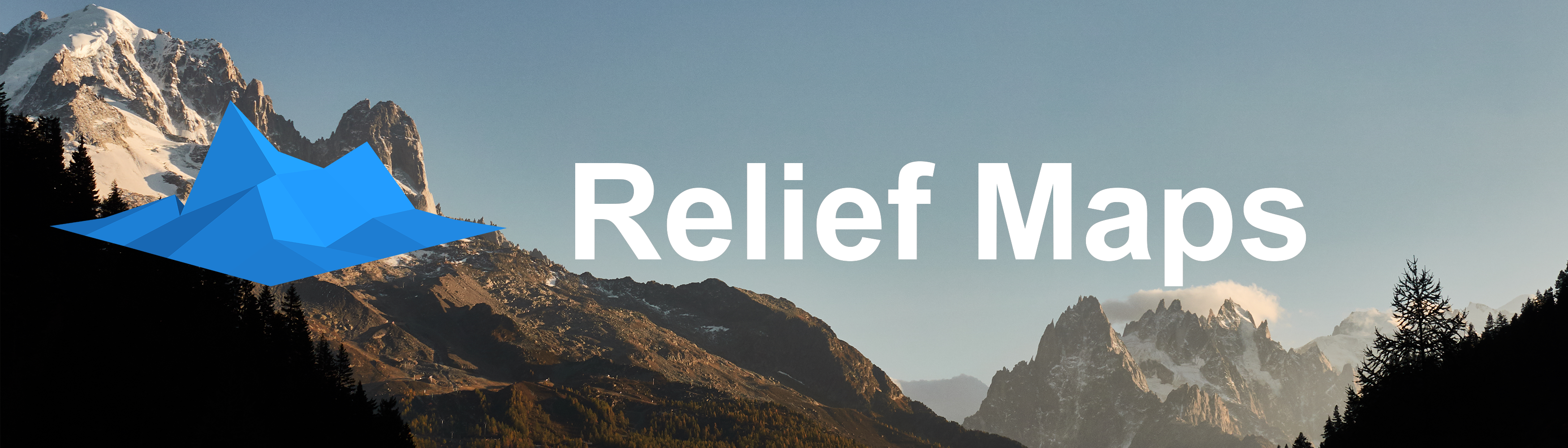
Relief Maps
Based in Annecy, France
Website:
https://reliefmaps.io
Press / Business contact:
[email protected]
Social:
twitter.com/reliefmaps
facebook.com/reliefmaps
instagram.com/reliefmaps
Address:
Annecy,France
Phone:
+33 6 08 76 03 88
Description
Who's behind Relief Maps ? and why launch this App ?
I'm Batiste Vonderweidt a solo maker from Annecy, France.
It is by doing a lot of mountain sports in the Alps like hiking , skiing , trail running or paragliding that the idea of Relief Maps came to me.
I was always looking for an easy to use GPS app with appealing features, but I was not happy with what existed. Passionated by developement too, I started developing my own App and that's how the Relief Maps project was born.
What's our process of developping Relief Maps ?
It's our common passion with our users for outdoor sports that is driving us for the development of this app. When you are outdoor practicing your favorite sports, it's important to be focused on enjoying the moment and not having to think too much about trails, and maps.
And it is with this in mind that we develop Relief Maps every day.
What is Relief Maps ?
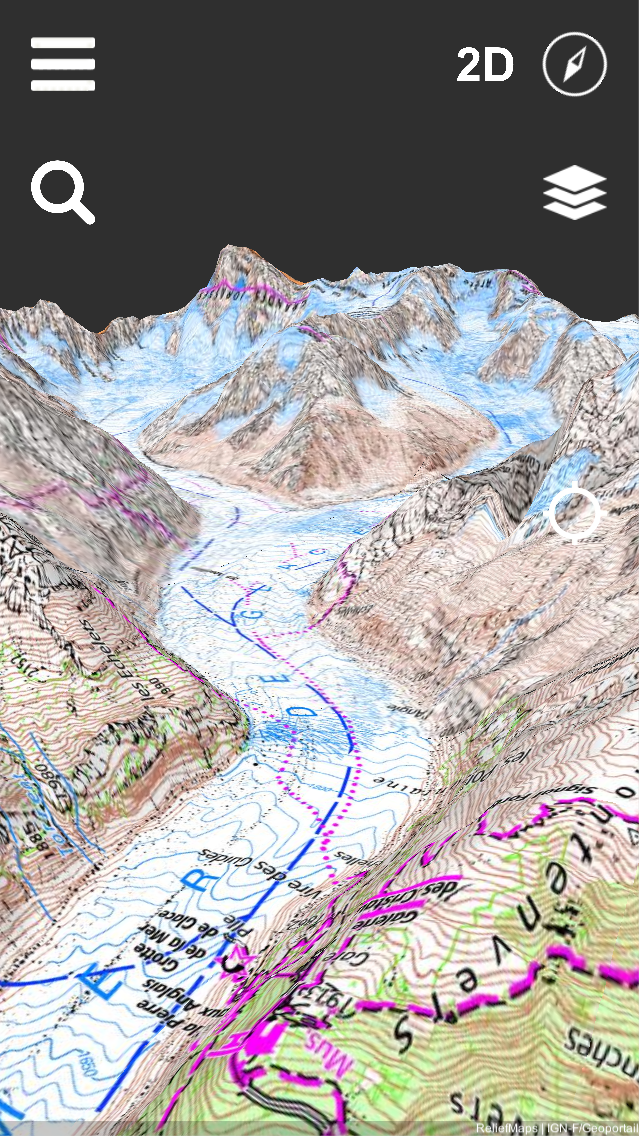
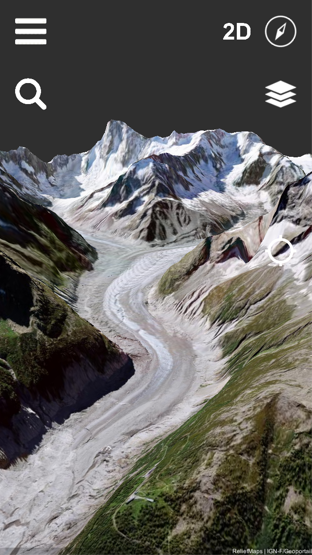
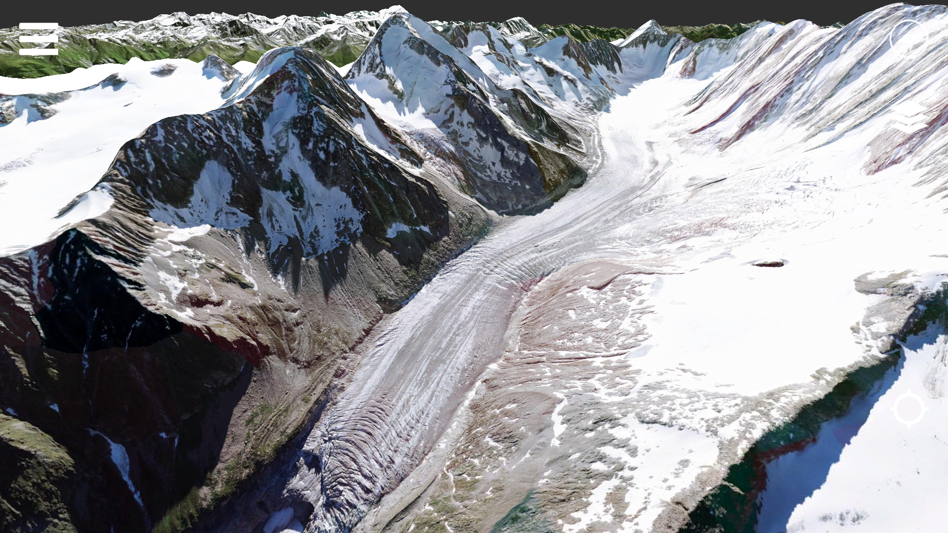
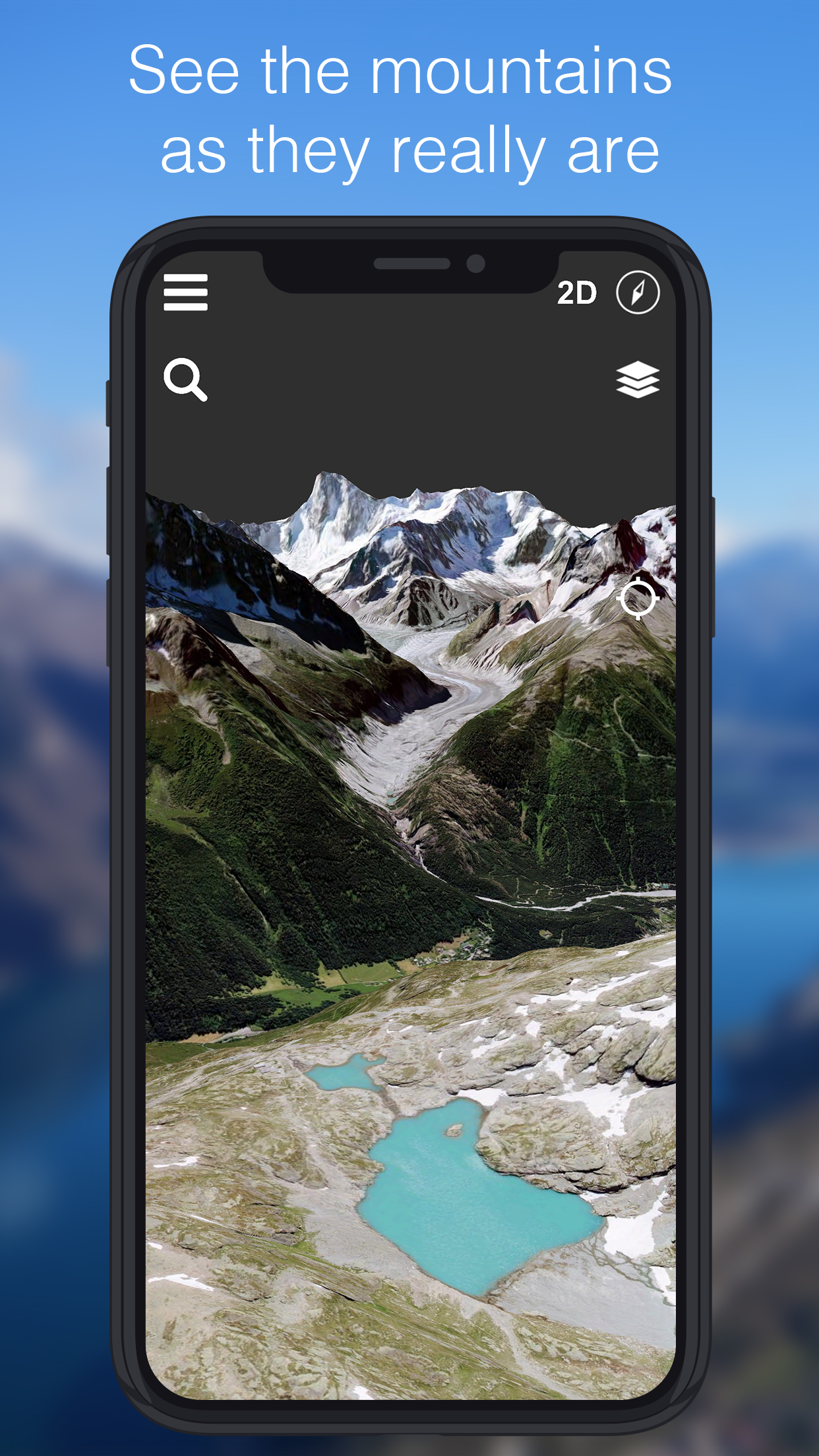
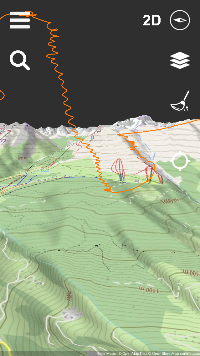
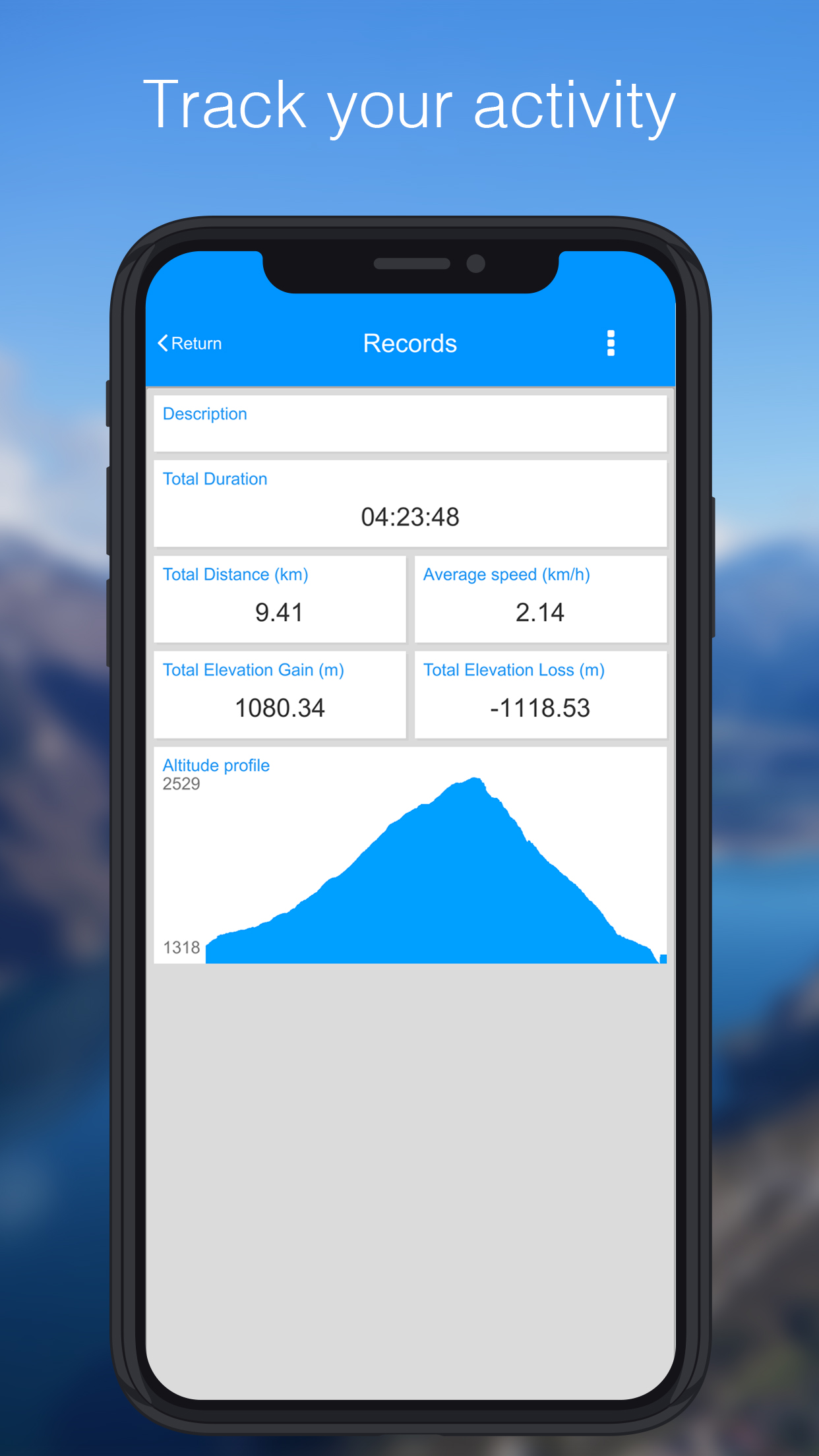
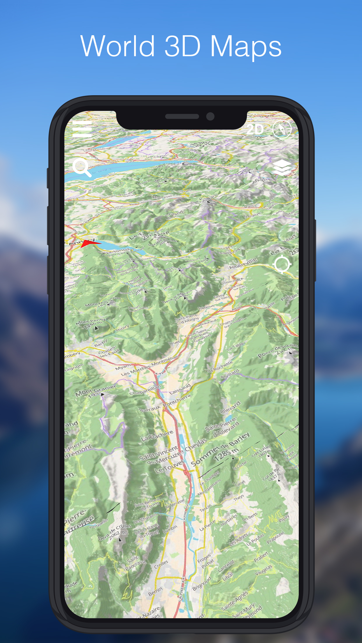
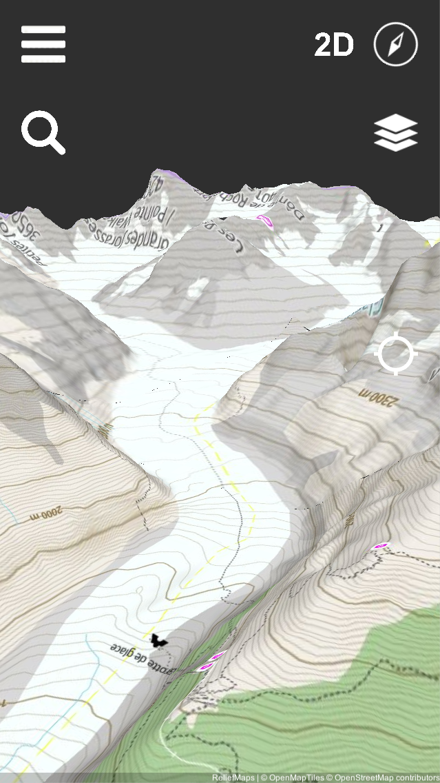
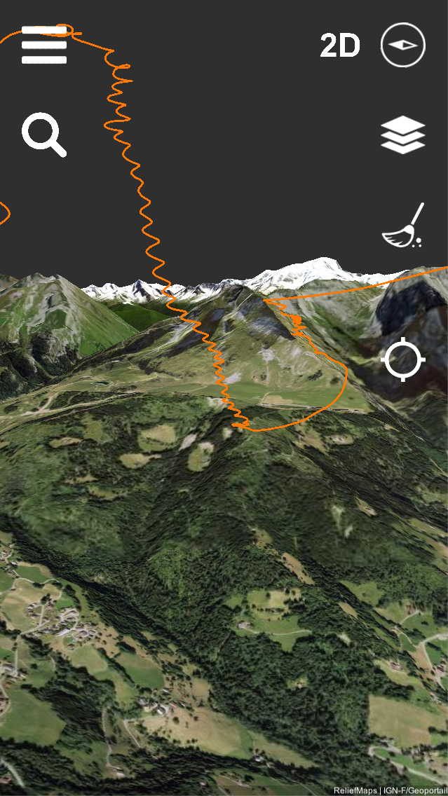
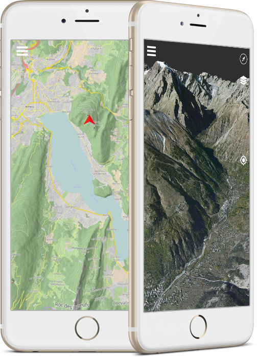
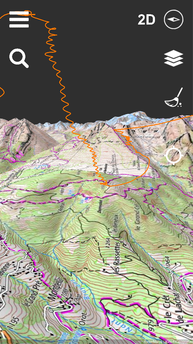
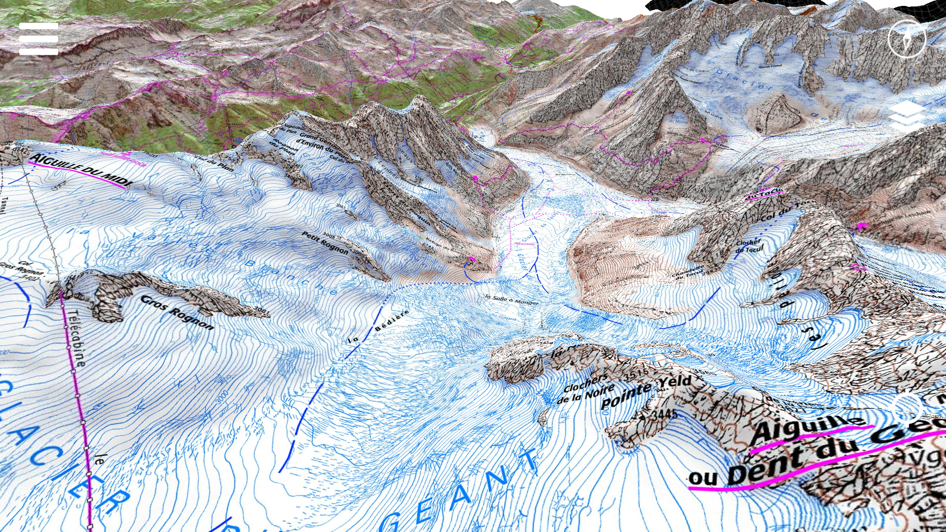
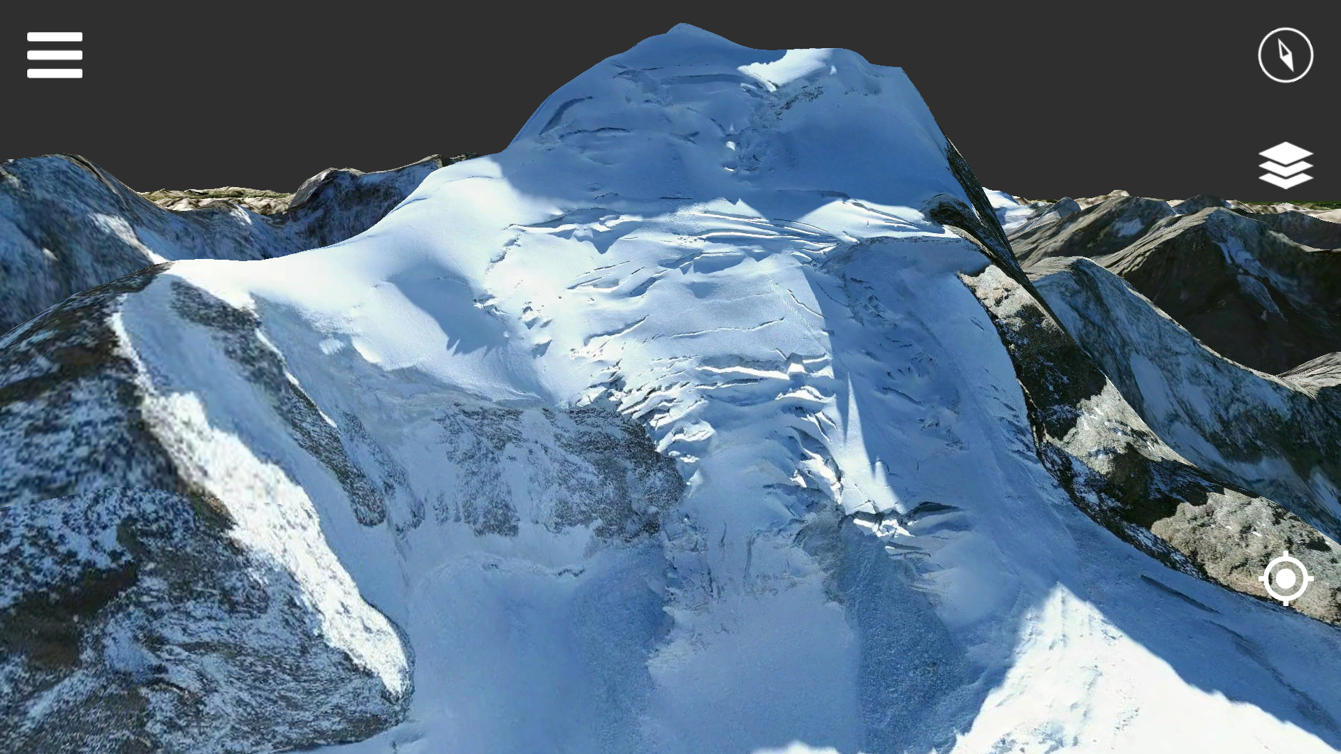
Relief Maps is a GPS application focused on outdoor sports, the app is based on an beautiful and high-performance 3D map.
Main features are :
- 3D maps specialy designed for outdoor sports
- Trail running, ski touring, paragliding ... Relief maps provide activity for every outdoor sports
- Downloadable maps for offline use
- Route planning
We are also working on some upcoming features :
- Social features that will allow our users to share there adventures with an instagram like follow & timeline system (user will be able to share recorded tracks,photos,current weather conditions etc.)
- Live Tracking (share your position live with other users)
- And much more, everyone can follow our progress looking at our roadmap
Our buisness model :
Relief Maps follow a freemium buisness model, the app is free but our users can subscribe for premium features like, additional maps and offline maps.
Our premium plans starts at 8.00$/year
If you have any additional questions be sure to contact us.
History
BeginningsRelief Maps as been in Beta for one year (2018), that allowed us to gather a lot of feedback from our users making this first released version possible
After thatRelief Maps just launched in january 2019 we are no focusing on getting more users, improving and adding features with the help of their feedback.
Videos
Introduction video YouTube
Images

There are far more images available for Relief Maps, but these are the ones we felt would be most useful to you. If you have specific requests, please do contact us!
Logo & Icon
Additional Links
Roadmap
follow our progress at https:.
Team & Repeating Collaborator
Batiste Vonderweidt
Founder, Developper
Contact
Inquiries
[email protected]
Twitter
https://twitter.com/reliefmaps
Facebook
https://facebook.com/reliefmaps
presskit() by Rami Ismail (Vlambeer) - also thanks to these fine folks